Friday, March 17, 2017

PROTECT, PADDLE & PETITION


In the spring of 2015, hundreds of activists in kayaks and small boats fanned out on Puget Sound to protest Shell Oil Company to resuming oil exploration in the Arctic. The paddle-powered environmental groups vowed to disrupt the oil company’s efforts to use of Seattle as a home base for their rigs returning from Alaska's northwest coast, saying that drilling in the remote Arctic waters could lead to an ecological catastrophe. Kayakers paddled around the rigs yelling “Shell No.” and unfurled banners for “Climate Justice.”

And just like that, the term "Kayaktivism" was launched. Ever since paddlers have rallied in places to protect on nation's waterways. In North Dakota, canoeist and kayakers gathered on the waters of the Cannonball, a tributary of the Missouri River to battle to stop the construction Dakota Access Pipeline.

Others groups spoke out against the dismantling of the stream protection rule, a safeguards streams from pollution created by mountaintop removal and surface coal mining. The bill was eventually signed by President Trump.

Lake Michigan

While in the Great Lakes region of U.S. and Canada many are sounding the alarm against potentially drastic cuts to an ecological recovery initiative for the Great Lakes. The Trump administration's potential cuts to the Great Lakes Restoration Initiative reported by the Detroit Free Press would slash annual funding for the $300 million program to $10 million.

“Lake Michigan is our Yellowstone,” Chicago Mayor Rahm Emanuel told Chicago Tonight, “That is our Grand Canyon. We have to treat it with that same type of respect and investment in the future"

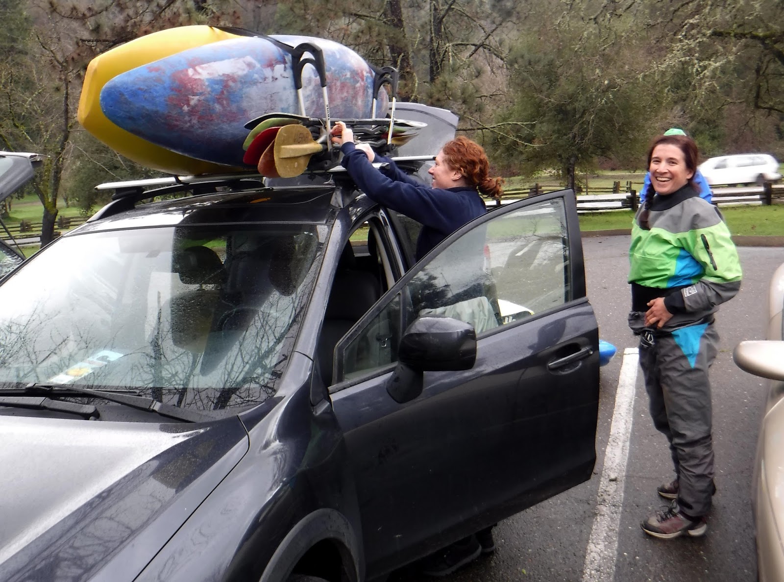
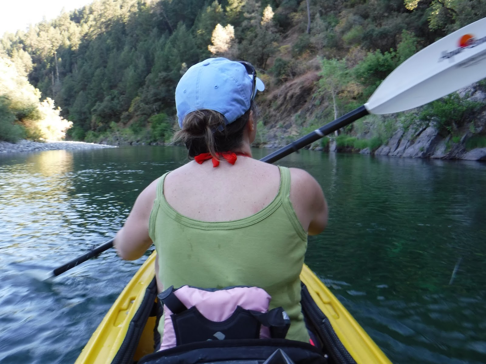
So in an aim to protect wild rivers and public lands, Outside Adventure to the Max is joining in the efforts of American Rivers, to celebrate the 50th anniversary of the Wild and Scenic Rivers Act in 2018. We are teaming up to ask Congress to protect 5,000 new miles of Wild and Scenic Rivers and one million acres of riverside lands. This then ensures that wild rivers flowing through public lands remain unharmed by development and pollution.
Otter Tail River

"As you probably know, fresh water is one of the big issues of our time. It is essential to our health, wealth, and security." Jeff Wiedner, American Rivers' Director of Online Community, wrote in an email, "But our rivers the main source of water for most Americans are under tremendous pressure. Too much water is being pumped out, too much pollution is being dumped in, too many dams block our rivers, and too much pavement is smothering riverside habitat."

He continued by saying that there are many challenges ahead but success depends on people getting involved.

"We believe every community deserves a healthy river," he stated, "Because communities with healthy rivers will enjoy ample clean water supplies, economic opportunity, and a high quality of life."

St Croix River

Sign the petition to Protect Wild Rivers
Support Protecting 5000 New Miles of Wild and Scenic Rivers

“In celebration of the upcoming 50th Anniversary of the National Wild and Scenic Rivers System, we urge you to defend and protect our nation’s 208 national Wild and Scenic Rivers and the public lands through which many of them flow. Join us in calling for additional Wild and Scenic protections for 5,000 miles of rivers and 1,000,000 acres of riverside lands across the country. At a time when we should be celebrating nearly 50 years of wild river protection, some of our best rivers flowing through public lands across the country are at risk. We urge you to oppose any efforts by Congress or the Administration that seek to weaken existing protections or transfer our treasured public lands and Wild and Scenic Rivers."

Friday, March 10, 2017

HIGH COUNTRY SNOWS


"When the lakes all are frozen.  And the wild wind blows.  I'll return to my darlin. ' And the high country snows". --Dan Fogelberg

While snowdrifts have risen as high as buildings in the Sierra this winter,  California skiers have trekked into its wintry back country to explore the beauty and the most snow the 400-mile-long mountain range has seen in decades. Outside Adventure to the Max's guest blogger Scott Blankenfeld, takes us along with skis. snowboard and his camera for this high flying skiing adventure, including a stop at last weekend's Free-ride World Tour (Huck Cup) held at Sierra at Tahoe Ski Resort.

Free-ride World Tour

                   By Outside Adventure Guest Blogger Scott Blankenfeld 

At elevation 8824 ft,  Talking Mountain,  near Lake Tahoe, California at  Sierra at Tahoe Ski Resort, provides stunning views of some of the Sierra's steepest terrain. From the ridge, one can see Huckleberry Canyon, and North Bowl popular sites for extreme-skiing.


My thrill seeking friends John, Justin, and Ryan and I had all met while working and rafting on The South Fork American River during the past summers and a back-country ski trip was another way for us all to get together. After discussing snow conditions, including the growing cornices and small slides over the convex rollers, we continued to the top where we were rewarded with unobstructed mountain views of Mt. Ralston, and Pyramid Peak to the west. To our east was Lake Tahoe and Mt. Tallac to our North.

There's just no good way to go back-country touring with a full sized (camera) DSLR. The camera is bulky, heavy and fragile. Falling on the camera will break it, but when it's packed too deep, it's difficult and cumbersome to shoot quickly. I've have used small packs, large packs and even a chest harness before, but on this trip, I chose to carry my camera in the back panel of my backpack closest to my back.


This way I can un-clip my chest strap and slide my pack around my waist and make the camera accessible in front. It’s was a bit of work to get the camera in and out, but I felt it was all worth it and came away with great images.

We took our time changing over from ski mode to snowboard mode to make our descent down east to Echo Lake. Our line had two sections. The upper was a classic South Lake Tahoe tree run with large old growth trees perfectly spaced for carving big turns and hitting jumps. The lower section was a wide open bowl that runs right to Echo Lake, with a couple of of cliff bands covered in our deep snow-pack.

Free-Ride World Tour

 http://www.scottblankenfeld.com/2016/02/11/backcountry-tour-talking-mtn-to-flagpole/
Comparing some of the images to a similar trip last year, I could really see the difference in snow-pack. Last year was not bad. The snow-pack was about 100% of normal then, But,  this year is  huge, and trending break records for the most snowfall ever. We’ll have to wait and see what happens with March and April storms. Until then, get out there and enjoy the snow.


Scott Blankenfled photographs California whitewater rafting during the season following the action on the North, Middle and South Forks of the American River. He also helps companies produce and manage their digital/print content and web presence. You can follow Blankenfled and check out more of his images at www.scottblankenfeld.com. 

Outside Adventure to the Max is always looking for guest bloggers. Contact us at Nickayak@gmail.com if you are interested.

Friday, March 3, 2017

FOUNTAINS OF FLOW

          
                 “Water is the driving force of all nature.” Leonardo da Vinci

A wave of storms has battered the Pacific coast this winter, hitting California particularly hard with heavy rains, mountains of snow and destructive flooding. It has all come after severe a drought that parched much of the state for the past six years. So while my area paddling chums are happy with the moisture recharging our area reservoirs and river. All this water, is too much of a good thing, keeping many paddlers away from usual peaceful waters that are now closed off to boating.

So between rains last week, with my familiar neighborhood location's water levels either too high, to treacherous or prohibited to paddling, I found myself at Folsom Lake State Recreation Area's Rattlesnake Bar on the north arm end of the lake. While taking in the flow from the North Fork of the American River, the lake in this past couple of weeks has been either up or down while accommodating California's rainy winter so far this season.

Now there has always been a long portage well past the gate at the boat ramp, as long as I've paddled there. It's been either lengthy trek down the ramp or an arduous trail along a steep bank to the water. The guidebooks say watch for rattlesnakes, hence the name. However, it should've of warned me about the thick layer of muck and slimy goo left behind after periods of high water blocking my path to the lake.

The easiest path, past the long boat ramp, looked like the La Brea Tar Pits. An oozing 100-yard field of muck, quicksand and flooded weeds before yielding to the lake. Going through there with my kayak in tow, I imagine myself quickly being sucked under like a scene out of Tarzan movie and entombed as a fossil of the lake.

The other path, much longer, of course, is a steep mountain goat like trail until you hit a slippery slope of sediment and rock about 20-yards or so down to the water.  Choosing this track with my kayak on my shoulder, I slid through the gunk down to the water edge like I was on ice skates.

Even away from the muddy shoreline, I was not far from its dinge. The fluctuating lake levels of this winter season had left the water a silty and turbid brown. It will, of course, clear up by summer, but now, it appeared as the color of coffee and cream. It was similar to my days on the Red River between North Dakota and Minnesota. There, I watch the blade of my paddle disappear with every stroke into the murky water, only to reappear after leaving it.

I have paddle upstream here before, even portaged through shallow rapids just past where the North Fork of the American River flows into the lake. However, on this trip, the current was confused agitated, pushing my sea kayak in all different directions. Gone were the idle pools of summer, replaced by boils, hard eddy lines and perturbed water that had other ideas.  After the first mile of going upstream, my kayak and I bent back, yielding to its flow and followed the lake's rocky shoreline.

Like the veins of blood returning to the heart, the water gushes back into the lake. Tiny capillaries of ravines, fissures, and crevices inundated with water, stream back to the vital artery of the river. It's plumber's nightmare. That constant resonance of running water from either that slow meticulous drip, drip, drip to the sound of that rushing cascade.

"Water does not resist," wrote Canadian poet, and environmental activist Margaret Atwood, "Water flows. When you plunge your hand into it, all you feel is a caress. Water is not a solid wall, it will not stop you. But water always goes where it wants to go, and nothing, in the end, can stand against it. Water is patient. Dripping water wears away a stone. Remember that, my child. Remember you are half water. If you can't go through an obstacle, go around it. Water does."

Drifting alone, along the shore I find stream after stream flowing back to the lake. In one spot, a surge of water was passing through a green meadow, in another the water was rushing through a rocky gap, looking a mountain stream of crystal clear effervescence. The unexpected waterfall comes after twisting through the meandering channel just across from where I put in. A sweeping stream had cut away the side of the bank producing a mini version of the horseshoe-shaped Niagara Falls spilling over an embankment. It was the payoff for my afternoon paddle.

As long as I live, I'll hear waterfalls and birds and winds sing. I'll interpret the rocks, learn the language of flood, storm, and the avalanche. I'll acquaint myself with the glaciers and wild gardens, and get as near the heart of the world as I can. -- John Muir

Friday, February 24, 2017

STORM SURGE


The first thing one notices is the sound of rushing water coming off the hills.  In some spots, it's a muffled refreshing gurgle while in other places it's a downright roar. Once dry, ditches, gullies, and creeks beds are now hydraulic jets of rushing of water that carry just about anything downstream in a debris-strewn torrent of eroded soil, rock and trees. Area rivers have swelled out of their banks, beat up levees, brimmed over reservoirs and buckled some dam's spillways while bursting over others.

Localized flooding has been commonplace in Northern California this winter, all thanks to a drought-busting parade of storms that are setting the stage of what could be the state's wettest winter on record.  Atmospheric rivers, a weather phenomenon of a long and narrow bands of water vapor formed over an ocean, carrying enough moisture to roughly equaled to the average flow of the mouth of the Mississippi River have dumped massive amounts rain and snow across the state once reaching landfall.
“After several years of drought, now we’ve got too much all at once,” Jeremy Hill, a civil engineer with the Department of Water Resources flood operations team told the Los Angeles Times.

Nevertheless, this conveyor belt of storms has created what many call “once-in-a-decade” conditions for many area paddlers on the South Fork American River. Flows estimated as high as  30,000 cubic feet per second compared to a normal pace of anywhere from 1,500 to 3,000 cubic feet per second have fashioned some of the biggest rapids anyone has seen on the river.

"It's been super fun." said Jeff Venturino of Davis, Ca., "It's been nuts, way too much fun. People have been getting on it at huge water. The biggest I have done it was like 10,000 to 12,000 (cfs), but people have been on it as big at 30,000 (cfs). The features are bigger, the holes are bigger. Most of the lines haven't changed much at this (6,000 cfs) flow."

Venturino and his group of paddlers were at local paddling shop The River Store to pick up a few things before taking on the South Fork this past weekend and like all groups on big waters, safety was on their minds.

"We're seven today," said Venturino,  "Like I wouldn't do an after work for a two-man lap today, because if somebody swims which is not really an option, but if it happens you need extra people around. It's so continuous you might not be able to grab an eddy so now you've got to get them to the bottom. I have heard a couple of stories of people losing boats or having to hike out. So it's still worth scouting if the flow is anything different from what you have regularly seen before."

Meanwhile, just up the road at Marshall Gold Discovery Park, Melissa DeMarie and her group were dropping off vehicles and loading kayaks in the rain shower while getting ready to shuttle up to Chili Bar put in for one their group member's birthday paddle. Across the way, they could see the South Fork flowing fast and yellow tape blocking off piles of flood wreckage from the weeks before, heaped up along its banks.

"It's been amazing. It's been huge, it's been brown" said DeMarie,  "There has been a ton of debris in the river. Things are definitely shifting around a little bit in there. Big trees, big logs and just a lot of other stuff floating down, so you definitely have to keep your head on a swivel and make sure you are looking around and see if there is a tree that is going to come and breach up next to you. But there were definitely days that I have chosen not to paddle like Chili Bar or the Gorge because there is like extra debris in the river. It adds an extra element to it and you gotta be really careful.

Local paddler Demarie with the California Women's Watersport Collective from nearby Cool has been out on the river several times this season and says the high water of the South Fork is a treat for her and other strong confident paddlers, that been offering new looks after enduring years of drought.

"The water on the really high days is super silty and it just reacts differently and there features where there weren't use to be features before, " said DeMarie, "I definitely pick and choose the days. It is really cool to go on the huge days because it hasn't really happened in a really long time and who knows when it's going to happen again."

And with the Sierra Nevada mountain snowpack well above 100 percent, water officials expect area reservoir to recharge and rivers will be rocking providing more big water fun all the way into summer.

Friday, February 17, 2017

SHAPE UP! THREE WAYS TO STAY PADDLING SHAPE IN THE OFF SEASON


BY OUTSIDE ADVENTURE TO THE MAX GUEST BLOGGER PETE DELOSA

I’ve met kayakers who could not paddle for a year or even longer and then one day roll off the couch and do some of the hardest class V runs around. For most of us however, that is not the case. It’s been tough in California the past couple winters. We haven’t had much water and even our staple run, the SF American, has gone down to only one day a week releases. Then when we do get a little rain and everything runs people aren’t ready. A lot of folks choose not to go on their old favorites like Chamberlain Falls or E to P because they feel like they haven’t been paddling enough. Some other folks go anyway and some of them end up having a rough time instead of the enjoyable day on the river they were hoping for. Despite the scarcity of water, there are ways to keep yourself in paddling shape so you can be ready when the goods do run. Here are a few things that I do to help me stay in good paddling shape while there’s no water.

  • Low water gorge laps on the South Fork. It can be a little boat abusive in a couple spots but most of the rapids provide fun lines that offer great practice at tight technical moves. The moves can be challenging but there is hardly any current so if you do run into trouble you don’t have to worry about being swept away on a long and unpleasant swim. As and added bonus, you’re likely to have the river to yourselves for the day. There is never a crowd on low water days.
  • Touring and Sea Kayaking. Lake Tahoe is amazing in the winter on a calm day. It’s like paddling on a mirror and there is a good chance you’ll be the only one on the lake. This beautiful setting is a great place to work on your forward stroke and your paddling endurance. Paddling is paddling, and the strokes you take on the lake will benefit you when you get back on the river. If Tahoe is a little too far, Lake Natoma and the San Francisco Bay are also great spots to get a quick after work paddle in. You don’t have to do hours on end to get the benefits. A 30 to 60 minute trip around the shore once or twice a week will have you in great shape when the rivers do run again.
  • Paddle Boarding. Any of the afore mentioned locations are great to paddle board as well. Paddle boarding provides excellent cross training and really forces you to develop core stability. That improved core strength will pay off huge when you get back on white water.

Don’t let yourself be caught unprepared the next time your favorite run comes in. Make a little time in your week to get out there and dip a paddle in the water. When that rain comes you will be glad you did.

California based kayaker Pete Delosa is a member of Team Pyranha and sponsored by Immersion Research. You can catch up with Pete on his blog River-Bum.com and watch his videos on You-Tube
Outside Adventure to the Max is always looking for guest bloggers. Contact us at Nickayak@gmail.com if you are interested.

Friday, February 10, 2017

OVER THE BOW: LAKE CLEMENTINE

Photo by Gareth Tate
The might and power of water are on display once again this winter as another series of storms blow through California dumping rain and snow across the state's northern tier.
A large portion of the Oroville Dam Spillway unexpectedly eroded away during this week's rain Department of Water Resources employees noticed pieces of concrete during a water release from Lake Oroville, the release was halted and water officials discovered about 200 to 300 feet of the spillway disappeared. Officials say Lake Oroville has enough storage to handle storms over the next three days. There is no imminent danger to the public

Meanwhile, the flow out of the Nimbus Dam was increased to 15,000 cubic feet of water per second earlier this week and is scheduled to more than double to 35,000 cubic feet per second from Lake Natoma by the end this week.
"The increased releases are based on changing conditions and are necessary to maintain space in Folsom Reservoir for projected Sierra runoff," the Bureau of Reclamation said in a news release. "Current storage in the reservoir is around 158 percent of its 15-year average for December."
Low-lying portions of the American River Parkway will likely be closed for a second time this winter, due to flooding, along with the Campus Commons golf course and Discovery Park.

At the rain-swollen Lake Clementine near Auburn, the cascade over the North Fork Dam roars like a mini-Niagara Falls of aquatic force echoing through the canyon and drawing river watchers like Gareth Tate.

"After seeing the amount of overflow going over the dam," wrote Truckee based photographer and kayaker, Tate in an email to Outside Adventure to the Max, "I decided to take out my drone and go for a flight. Quite a beautiful perspective of this rare scene."

The lake is a four-mile-long and narrow waterway in the popular Auburn State Recreation Area, fed by the North Fork American River. It was formed in 1939 when the Army Corps of Engineers built the dam to prevent gold mining debris from flowing downstream. A short hike upstream from the 730-foot-tall Foresthill Bridge, the highest bridge in California, the lake is popular for boaters and water-skiers during the summer months. However, like many of state's flooded waterways, this winter visiting the lake is not advised till the water resides.

"Although the flooding can be damaging," wrote Tate, "It is hard not to feel a sense of relief for California with this record-breaking snow and rain season. My fingers stay crossed that temps will stay cold for the rest of the storms this year so that the water can stay stored as snow and released gradually but after the last few years it is awesome to see the rivers so full."


You can check out more about Gareth Tate and images and videos on Facebook

Over the Bow is a feature from Outside Adventure to the Max, telling the story behind the image. If you have a great picture with a great story, submit it to us at nickayak@gmail.com

Friday, February 3, 2017

TRUMP RAPIDS

Trump Rapids by Debbie Klenzman
We are all paddling down an uncharted course. It all started with a little rough water and around the bend, we hear the giant roar of raging rapids. We think to paddle to the safe side, but there is no safe side. We back paddle hoping and fighting to go upstream, but the current is just too strong and pulls us to the abyss. There is no turning back, we are swept over the falls, hoping for the best and hoping to survive.

That is what these last couple of weeks have seemed like to me across the United States. Almost immediately upon taking office, President Donald Trump has begun fulfilling his campaign promises of gutting, targeting its spending and planning to halt much of its work, along with trying to silence his critics on global warming and muzzling staff at the national parks. He has put the long-debated Keystone XL pipeline back on track and signed executive actions to begin cracking down on border security, including a travel ban and building a border wall with Mexico.

"I will build a great wall -- and nobody builds walls better than me," Trump said during his candidacy announcement speech in June 2015,  "Believe me --and I'll build them very inexpensively. I will build a great, great wall on our southern border, and I will make Mexico pay for that wall. Mark my words."

"We have also come because of the looming atrocity that might well occur down here under the Trump reign " wrote Alan Kesselheim in op-ed piece for Canoe & Kayak' Online, "Who knows what stupid shenanigans will take place along this fraught and contentious border country full of history, skirmish, war, culture clash, and complication that Trump thinks a wall will take care of. A big, beautiful wall, he says, that Mexico will pay for." 

Courtesy of NPS

Last December, Kesselheim and company took their red tandem canoe along a muddy stretch of the Rio Grande River downstream of Big Bend National Park,  known as the Lower Canyons in a place he calls loneliest river miles on the continent. Deep inside canyon walls climbing 1,5,000 feet, Kesselheim found what describes as haunting beauty, but at times focused on the purposed border wall.
 
"The specter of it forms the backdrop for our lovely holiday journey. It shadows all the spectacular side canyons we walk up, all the rapids we run, all the springs we drink from, sours the company of all the wildlife we see going back and forth. Hour after hour, day on day, our red canoe rides the currents of water eddying back and forth between arbitrary borders on a map. Mile after mile we marvel at the true beauty of canyon walls rising sheer out of the river – intimidating, harsh, craggy, lovely walls, courtesy of Mother Nature"

Courtesy of NPS

The length of the border with Mexico is 1,954 miles, as defined by the U.S. International Boundary and Water Commission. The land border stretches 675 miles, while the length of the border along the Colorado River and Rio Grande is 1,279 miles. Trump said construction on his highest-profile campaign promise would begin in months. On his journey down river Kesslheim, says he asked every single person from shuttle driver to ranch worker, from park employee to waitress to hotel owner what they think of the wall. And while many admitted to voting for Trump, most thought the wall was "a really stupid idea," and that it should never happen.

 "Don’t get me started on the complications involved in building this stupid barrier, or the short-sighted, myopic cluelessness of it. Minor matters like the logistics of actually constructing a 2,000-mile, impenetrable wall along a border as environmentally intimidating as ours with Mexico. Or the mind-boggling cost of such a project and the very good possibility that it won’t work anyway. Then there are the thorns of history that still fester centuries later along that border. And don’t forget the native peoples’ claims to land and culture that predates our occupation. If we really want to talk about entitlement, let’s talk to some Apache."

It seems from Alaska to Florida our public lands and waterways are in under threat. Last week, in one of a number of high-profile orders, Trump also instituted a ninety-day hiring freeze across the executive branch, a heavy blow to the U.S. Fish and Wildlife Service, the Bureau of Land Management, the National Park Service, and other chronically short-staffed agencies.

Courtesy of NPS
While this week U.S. House of Representatives introduced a resolution to dismantle the Stream Protection Rule. Members of Congress are using the Congressional Review Act to take aim at the rule, finalized by the Department of the Interior in December 2016, which safeguards streams from pollution created by mountaintop removal and surface coal mining. The House passed a resolution, 228-194 and the Senate to approved the resolution  sending it to the President’s desk.
The Republican Senate majority leader, Mitch McConnell, said the stream rule, introduced in the dying days of Barack Obama’s administration, “unfairly targets coal jobs.”
Environmentalists say surface coal mining has devastated thriving natural ecosystems and entire communities like those in Central Appalachia. The Stream Protection Rule modernized existing regulations. National Parks Conservation Association (NPCA) Senior Director of Water Policy Chad Lord says, Congress is taking a troubling step backward by dismantling this rule that protects the small businesses and families that depend on clean water. This what he said in a statement released by the NPCA.

"The Stream Protection Rule would prevent toxic pollution produced by mining operations from harming waterways. These are the same waterways that people hike by or paddle on in national parks including Big South Fork National River and Recreation Area, Bluestone National Scenic River and New River Gorge National River. Will Americans continue to want to visit these national park sites and spend millions of dollars in surrounding communities each year, if polluted waterways greet them upon arrival? Rather than blocking these important policies, Congress should work to ensure our national parks and surrounding communities have the clean waters they deserve."

So as fears and setbacks swirl in the rapids of President Donald Trump and Congress'  environmentally unfriendly rhetoric, environmentalists and naturalists are sounding the alarms from the mountains and rivers they have sworn to protect. Columnist Wes Siler wrote this in Outside Online.

"Donald Trump’s tenure in the White House. Along with the Republican Party’s reign in Congress, will be an unmitigated disaster for the environment. A witch hunt is already underway for federal employees who support the science of climate change. Protections for the 640 million acres of public land you and I own in this country are already being stripped away. Oil and gas extraction on public land is expected to be deregulated, and even coal—a heavily polluting, inefficient energy source the market has rendered obsolete—may see reinvestment."

The Sierra Club Executive Director Michael Brune also released the following statement:

“This a pathetic marketing scheme by Donald Trump, not a way to run a country. The Presidency is not like QVC - letting this polluter-packed administration pick off vitally important clean air and clean water safeguards in a fire sale will do nothing less than put lives at risk. What this means is that for every restriction on immigration or tax break for big oil companies that is put into place, Donald Trump will also be able to throw out two clean air and clean water safeguards. The safeguards that Trump wants to throw out are those that ensure we can fulfill and implement laws deeply valued by Americans, like the Clean Air and Clean Water Acts, meaning this shameless pandering is willfully ignorant of Congressional mandates. This is a dangerous, deadly plan to undermine the laws that protect our environment, our workplaces, and our families and Trump should expect fierce resistance.”

Courtesy of NPS

And back on the Rio Grande, Kesslheim looked out over the bends of the quiet river pondering its future and ours.  

"And that’s where we stand today, in the process of confronting just that sort of exclusionary nationalism, symbolized oh so clearly by the ludicrous, impossible, and all too real 2,000-mile wall no one thinks will actually get built but which also empowered Donald Trump’s election. The longer we are in the grasp of that relentless downhill momentum, under the blue dome of winter sky, in the cool shade of looming cliff, in the company of life that never entertains nationalist seduction, the less I feel a part of the recent American enterprise, this vote that just took place, these sentiments shouted in angry arenas. In some fundamental way, I truly can’t fathom that it happened."